Plymouth Parks and Trails: How to Compare Nearby Homes
Find the right entrances at French, Parkers Lake, and Eagle Lake, then compare the routes and seasonal access from nearby Plymouth homes.

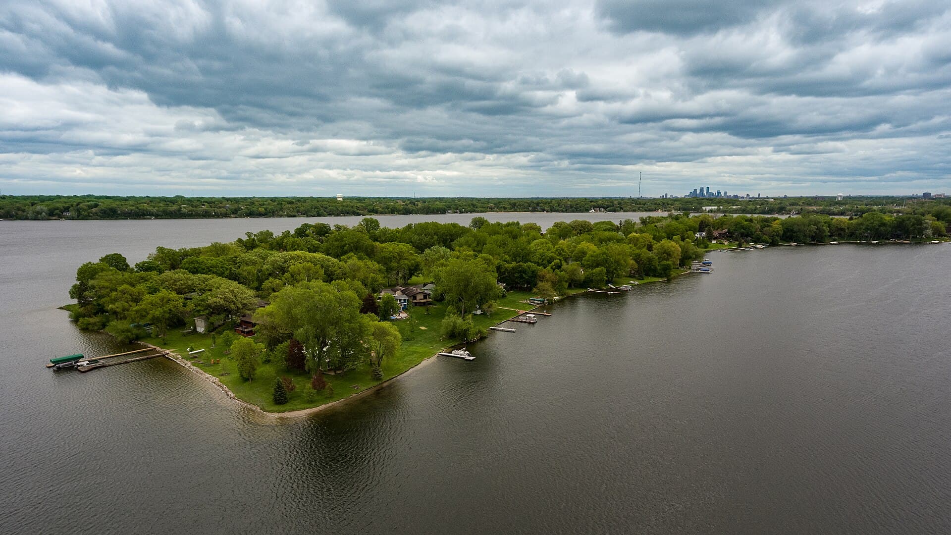
Aerial view of Medicine Lake and its wooded peninsula, with the Minneapolis skyline on the horizon
Photo: Tony Webster · CC BY 2.0The closest park on a map may not have the most convenient entrance. French Regional Park, Parkers Lake, and Eagle Lake each have different access points for walking, playing, and getting on the water. Use this guide to find the right destination and test the trip from a home you are considering.
At a glance
Guide highlights
- Measure a route to the intended entrance and activity, not just the park boundary.
- Parkers Lake Park and the playfield gathering facilities use different destinations.
- Check the appropriate Eagle Lake access point before planning a water or trail visit.
- A regional trail's maintenance policy does not establish the condition of every neighborhood connection.
01
French Regional Park: start with the entrance, then the activity
French Regional Park is on Medicine Lake's north shore at 12605 Rockford Road. Its paved paths connect with the Medicine Lake and Bassett Creek regional trails. The operator publishes separate summer and winter maps; winter hiking is not permitted on the cross-country ski trails. Use the map appropriate to your activity and season.
For a home you are considering, mark the park entrance and your actual destination inside it. A walk to a playground, a trip with a kayak and a longer bike ride require different routes and equipment. Try the connection from the public street outside the home, noting crossings, driveway conflicts, gradients and the last stretch into the park.
French is also a useful place to distinguish enjoying a lake from owning shoreline. If public access meets your needs, compare homes by the quality of that trip and the home itself. If you want private access, use the separate Medicine Lake homebuying guide to check the documents and responsibilities involved.
02
Parkers Lake: distinguish the park from the playfield
The City's Parkers Lake directory entry places Parkers Lake Park at 15205 County Road 6 and lists trails, a beach, playground and picnic facilities. The park rental page separately identifies Parkers Lake North Picnic Shelter at 15500 County Road 6 in the playfield. Save the intended destination rather than routing only to Parkers Lake.
This distinction matters when a listing highlights nearby recreation. A reserved gathering, an evening walk and a trip carrying beach supplies may use different entrances. Walk the relevant trip instead of assuming one destination answers all three needs.
Visit during your expected hours and observe activity and parking from public places. Check whether an event explains unusual crowds. Record the date and conditions instead of generalizing from one visit.
03
Eagle Lake: choose the correct trailhead or water access point
Eagle Lake Regional Park sits at the Plymouth–Maple Grove border. Three Rivers lists its main address as 11000 Bass Lake Road, but identifies the fishing pier and canoe/kayak carry-in access at Eagle Point off 63rd Avenue North. That is exactly why a park's main mailing address is not always the right destination for a visit.
Choose what you want to do before measuring the trip: walking, a ride connecting to municipal trails, carrying a small boat, or a winter activity. At a carry-in location, rehearse moving your equipment from legal parking to the access point. Do not treat a carry-in launch as evidence of a trailer ramp or an assigned storage space.
The park's winter information includes ski-pass requirements and a closed visitor center. Check the current activity page and trail conditions before relying on a facility for warming up or a particular route for a winter outing. For a housing decision, the question is whether you would use the available route and facilities under those conditions.
Swipe across to read the full table →
| Starting point | Location to enter in your map | Housing research task |
|---|---|---|
| French Regional Park | 12605 Rockford Road | Test the route to your activity, including the connection inside the park |
| Parkers Lake Park | 15205 County Road 6 | Separate a routine park visit from a playfield or rental destination |
| Parkers Lake North Picnic Shelter | 15500 County Road 6 | Confirm the gathering location and appropriate parking |
| Eagle Lake main park | 11000 Bass Lake Road | Choose the correct trailhead for your activity and season |
| Eagle Point water access | Off 63rd Avenue North | Test carrying equipment from legal parking to the water |
04
Regional-trail proximity needs a door-to-trail check
The Medicine Lake Regional Trail is a paved, 20.7-mile regional route linking French and Fish Lake regional parks with Elm Creek Park Reserve. It also connects to the Bassett Creek and Luce Line regional trails. That mileage describes the regional route, not a loop around Medicine Lake or the distance of a trip from a home.
Mark where the neighborhood street actually joins the trail. Follow the complete legal route and identify any crossing that could change how often you use it. For two homes similarly close on a map, test which connection works better for your activity.
For a winter routine, the operator says the Medicine Lake Regional Trail is plowed in Plymouth. That does not establish clearing of every connecting sidewalk, immediate clearing after a storm or an ice-free surface. Ask which agency maintains the neighborhood connection and review current conditions. Keep a backup route or activity for days when the planned trip does not work.
05
A practical three-stop Plymouth park comparison
French: follow a short route for your preferred activity using the current park map. Parkers Lake: visit the park or playfield destination you expect to use. Eagle Lake: find the correct walking or paddling access point. Order the stops around opening hours and current construction.
At each stop, record five things: entrance, route from the home, crossings or carrying distance, available facilities, and likely frequency of use. Use the same headings so the notes are easy to compare.
Repeat the strongest candidate's route from the actual home location, including parking or the full cycling connection. Use the Plymouth commute guide to compare work travel alongside recreation.
06
Keep park access alongside the rest of the property research
Review condition, boundaries, taxes, applicable association documents and school assignment alongside park access. The moving guide organizes those checks; the district address guide links official enrollment tools.
If a home backs toward parkland or a trail, ask for the survey and relevant easement information. An open strip behind a yard may not be part of the parcel. Verify boundaries before planning a fence, landscaping, access gate or maintenance change. Separate the public amenity you enjoy from the land you would own.
For a seller, document the actual entrance, route and facilities when explaining location benefits. Ask for a property-specific home value review instead of assigning an automatic park premium. Official resources were checked September 22, 2026; seasonal access, construction and facility operations need a fresh check before each visit.
Planning note
Choose the trip you expect to make regularly and test it from the home. A useful location description names the entrance, crossings and seasonal limits so you can judge the benefit for yourself.

Keep your Plymouth research moving
Connect this question to the whole move.
Use these related guides to organize the remaining questions, then talk through the details of a specific home.
Frequently asked questions
Which Plymouth park should I visit when comparing homes?
Is Parkers Lake Park the same destination as the playfield?
Where is the Eagle Lake canoe and kayak access?
Is the Medicine Lake Regional Trail a loop around the lake?
Does backing up to a trail mean I own the land beside it?
Sources and verification
These are the public sources used for facts that can change. For an address-specific decision, verify the current details before you act. Read our research standards.
Written by
Bryce CaldwellBryce Caldwell is a RE/MAX Results agent who knows the Lake Minnetonka corridor and the Twin Cities west metro. Full-time since 2022 with a 5.0 Zillow rating across 27 reviews, he gives buyers and sellers honest, no-pressure guidance — and writes these guides.
Keep reading
Keep exploring Plymouth
 Illustration: OpenAI image generation · Generated asset
Seller guide / 8 min read
Plymouth Home Selling Costs: A Seller Worksheet
Estimate Plymouth sale proceeds with written broker fees, dated payoffs, taxes, assessments, closing charges, and a separate moving budget.
Read the guide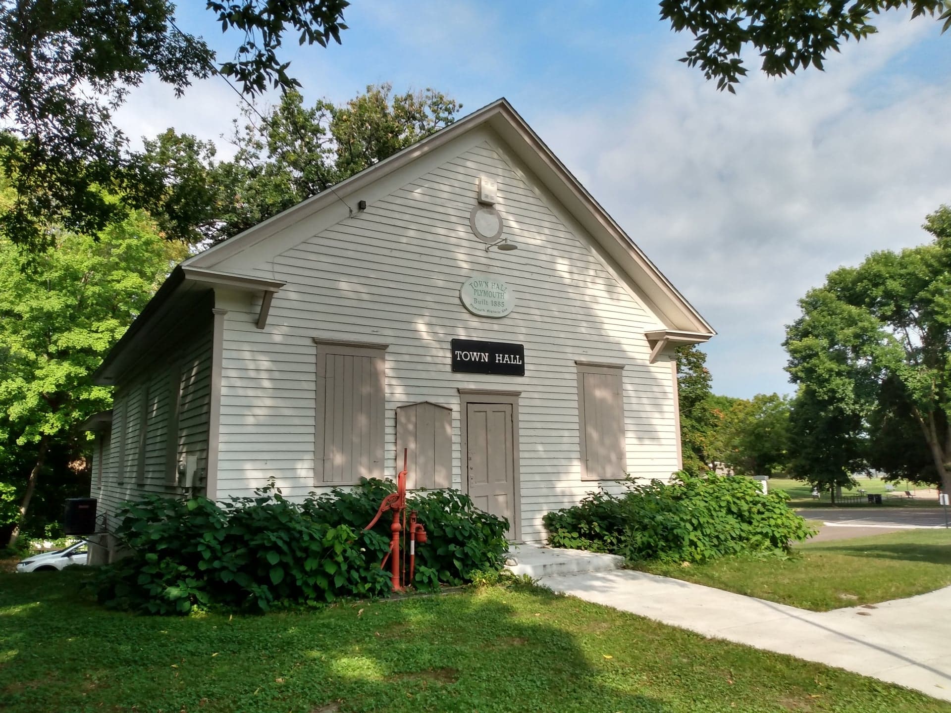 Photo: Heritage Preservation Department – MNHS · CC BY-SA 2.0
Local favorites / 8 min read
7 Plymouth Hidden Gems Worth Making Time For
Walk a garden labyrinth, step inside Old Town Hall, discover local art, and turn familiar Plymouth landmarks into a much more interesting afternoon.
Read the guide Photo: McGhiever · CC BY-SA 4.0
Schools / 8 min read
5 Plymouth Elementary Schools to Compare Before You Move
Compare five named Plymouth elementary schools by classroom approach, school-day timing, care, and enrollment—with useful questions for each visit.
Read the guide